What’s Stressing our Streams?
Each field season, South St. Louis SWCD technical staff, together with our partners, will grab their waders, state of the art survey equipment, and “Rite in the Rain” notebooks and head to remote reaches of streams all along the north shore. These are long days bushwacking through alder, fording swollen streams and using intuition and scientific knowledge to “read” the stream in order to determine if it is functioning as it should, or if there is something happening in the watershed that is causing trouble in the stream. In addition to water-quality monitoring, staff assess the stability of our local waterways, including the installation of permanent survey markers to measure long-term hydrological changes.
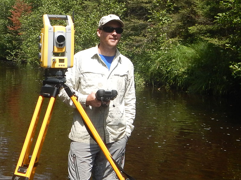
“Walking an entire stream, like the Talmadge River, from its mouth to the headwaters, I got to see tons of cool waterfalls and places I didn’t know exist,” Tim said. Collecting data along the way, he surveyed six miles of river in four days. Back in the office, the data is carefully entered into a special streams program called RiverMorph, which can help people analyze and visualize stream data quickly and accurately.
This on-the-ground (or in the water) survey work is crucial for establishing and evaluating existing water quality conditions, a task that is mandated to each state by the Clean Water Act. Fortunately for us, the people of Minnesota made it possible to conduct this critical work on more rivers and lakes and at a much more detailed level when they passed the Clean Water Land and Legacy Amendment several years ago. Thank you!
Watershed Projects
A stable stream channel is one that has little to no disturbance. It has minor erosion on the stream banks, contains diverse and suitable habitat, and changes little from year to year. Stable channels are able to withstand large flood events with minimal to no effects.
Our office, in cooperation with our engineering partners, the DNR, St. Louis County, and the City of Duluth, participates in several of large-scale stream restoration projects thanks to funding from the State of Minnesota.
Cloquet River Watershed WRAPS
The MN Pollution Control Agency, together with its partners Lake County Soil & Water Conservation District and the South St. Louis Soil & Water Conservation District, are beginning a 10 year process of assessing the health and condition of the many streams, rivers and lakes of the Cloquet River Watershed as part of our State’s responsibility to know the condition of our public waters under the Clean Water Act. Besides the Cloquet River itself, other lakes and rivers in this watershed include Fish Lake, Island Lake, Grand lake, Us-Kab-Wan-Ka River, Boulder Creek, and Wolf Creek.
This 10-year process, called the Watershed Approach of the WRAPS: Watershed Restoration and Protection Strategy, is being initiated by the MPCA and its partners throughout the State’s 81 major watersheds on a rotating schedule. In summer of 2019, we will continue to collect water temperature data in the upper Cloquet River and many of its tributaries. We will also work to assess road crossings, determining if fish, water and sediment can pass freely.
Construction bidding info
Click here for info on conservation construction projects for which we are currently seeking bids.